We monitor and protect critical seagrass meadows in the Bay of Ranobe
Seagrass Surveys
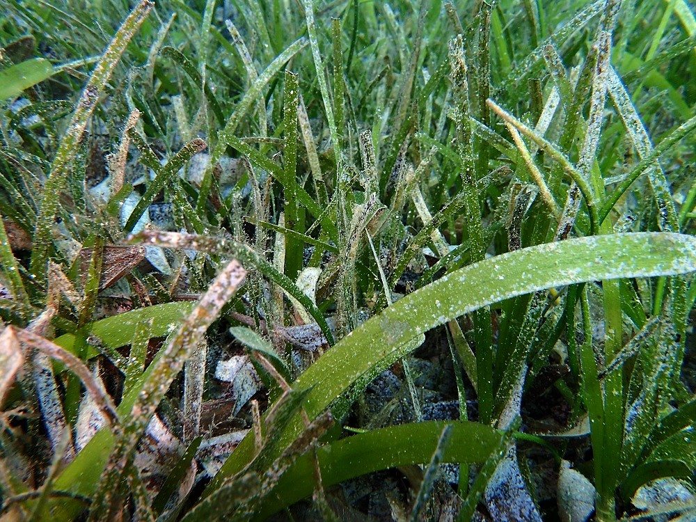
Seagrass are one of the most productive and valuable ecosystems in the world. They provide critical sheltered refuges and feeding areas for a diverse community of marine life (from tiny invertebrates to large fish, crustaceans, and turtles) thereby providing the basis of coastal fisheries productivity. Furthermore, they stabilize bottom sediments, act as hydrodynamic barriers reducing wave energy, and filter coastal waters of nutrients and contaminants. Seagrass beds provide a further barrier to silt and mud that could otherwise smother coral reefs. They also capture and store a large amount of carbon dioxide from the atmosphere. Over 95% of the carbon in seagrass meadows is stored in the soils and overall these ecosystems are responsible for 10% of this “Blue Carbon” buried annually in the ocean. Therefore, like another important blue carbon ecosystem, mangroves, they play and important role in reducing the impacts of global climate change.
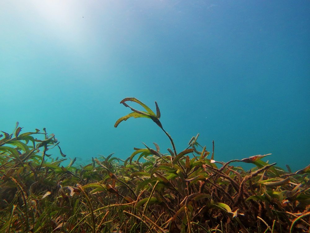
Unfortunately, due to their location on land-sea interface, seagrass beds are subject to many anthropogenic impacts including eutrophication, sedimentation, human development, and fishing net trawling. Seagrass beds are under threat globally with coverage being lost at a rate of 1.5% per year. In addition to the loss of their important ecological and hydrodynamic functions, when degraded or destroyed, seagrass emit the carbon they have stored for centuries into the atmosphere and oceans, becoming sources of greenhouse gases.
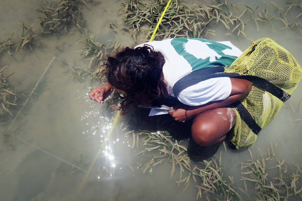
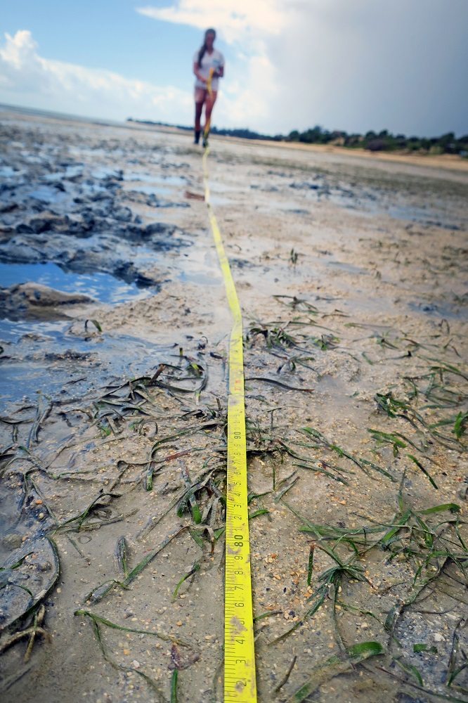
We have implemented a seagrass surveying programme to map and assess the status of the seagrass beds in the bay; forming the crucial first steps towards their protection. This research has enabled us to begin to establish seagrass reserves, involving zoning for strict protection and restricted use, with the initial aim to protect at least 10% of the total seagrass habitats in the Bay of Ranobe. Currently seagrass monitoring in the bay takes place every three months. To date, our seagrass mapping project has allowed the team to decide on the best location of seagrass reserves and zoning (read on below), and our going monitoring programme will enable the effectiveness of this management to be assessed in the long-term.
Seagrass Reserves
Seagrass meadows in the Bay of Ranobe are under a variety of pressures comprising their survival such as climate change, destructive fishing practices, and reduced light levels due to sedimentation and high nutrient loading. It is therefore important to protect these valuable habitats to preserve their critical ecological, hydrodynamic, and Blue Carbon functions.
In 2016, we brought stakeholders (village elders in Ifaty and Mangily, the local fisher’s association FI.MI.HA.RA, and various local businesses) throughout the bay together in monthly meetings to discuss the creation of a seagrass protected area (SPA). Following a considerable amount of discussion it was agreed by all the stakeholders that the first SPA in the Bay of Ranobe would be created. In fact, discussions were so successful that the total area of the SPA is now 950 hectares, which is over twice the size of the targeted area of 400 hectares originally planned. The entire SPA is a restricted use zone, which means that only certain fishing activities can be carried out in the area including some fishing with restricted fishing gear using hook and line. However, destructive beach trawling seine nets are strictly prohibited within the SPA.
The creation of this SPA is a very significant step forward for sustainable fishing practices and for conservation in the Bay of Ranobe. It will protect critical seagrass habitat from destructive and unsustainable fishing methods providing relief to juvenile reef fish and foraging turtles. The implementation of this SPA has also been established in collaboration with the local communities participating in our sustainable livelihoods aquaculture project, demonstrating their commitment to marine stewardship. Meetings are now ongoing to make 150 hectares of the SPA a strict protection zone where no fishing or marine gleaning activities can take place whatsoever. Seagrass monitoring will continue every three months in order to collect data that will allow the team to assess the health of the SPA.
